
Centimeter-Level GPS Positioning for Cars
by Philip E. Ross, IEEE Spectrum
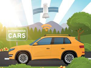
Superaccurate GPS may soon solve three robocar bugbears—blurred lane markings, bad weather, and over-the-horizon blind spots. These are things lidar and radar often can’t see, see through, or see around.
Superaccurate GPS may soon solve three robocar bugbears—blurred lane markings, bad weather, and over-the-horizon blind spots. These are things lidar and radar often can’t see, see through, or see around.
A group led by Todd Humphreys, an aerospace engineer at the University of Texas at Austin, has just tested a software-based system that can run on processors in today’s cars, using data from scattered ground stations, to locate a car to within 10 centimeters (4 inches). That’s good enough to keep you smack in the middle of your lane all the time, even in a blizzard.
“When there’s a standard deviation of 10 cm, the probability of slipping into next lane is low enough, meaning 1 part in a million,” he said. Today’s unaided GPS gives meter-plus accuracy, which gives you maybe 1 part in 10, if that, he adds.
That’s not a great percentage, particularly if you’re driving a semi. Lane-keeping discipline is non-negotiable for a robocar.
The team, which was backed by Samsung, began with the idea of giving smartphones super-GPS positioning power. But though that idea worked, it was limited by inadequate antennas, which neither Samsung nor any other vendor is likely to improve unless some killer app should come along to justify the extra cost.
“We pivoted then, to cars,” Humphreys says.
Humphreys works on many aspects of GPS; just last month he wrote for IEEE Spectrum on how to protect the system from malicious attack. He continues to do basic research, but he also serves as the scientific advisor to Radiosense, a firm his students recently founded. Ford has recently contacted them, as has Amazon, which may be interested in using the positioning service in its planned fleet of cargo-carrying drones. Radiosense is already working with its own drones—“dinnerplate-size quadcopters,” Humphreys says.
Augmented GPS has been around since the 1980s, when it finally gave civilians the kind of accuracy that the military had jealously reserved to itself. Now the military uses it too, for instance to land drones on aircraft carriers. It works by using not just satellites’ data signals but also the carrier signals on which the data are encoded. And, to estimate distances to satellites without being misled by the multiple pathways a signal may take, these systems use a range of sitings—say, taken while the satellite moves in the sky. They then use algorithms to locate the receiver on a map.
But until now it worked only if you had elaborate antennas, powerful processing, and quite a lot of time. It could take 1 to 5 minutes for the algorithm to “converge,” as the jargon has it, onto an estimate.